ملف:South Yorkshire UK location map.svg

حجم معاينة PNG لذلك الملف ذي الامتداد SVG: 800 × 547 بكسل. الأبعاد الأخرى: 320 × 219 بكسل | 640 × 437 بكسل | 1٬024 × 700 بكسل | 1٬280 × 875 بكسل | 2٬560 × 1٬750 بكسل | 1٬425 × 974 بكسل.
الملف الأصلي (ملف SVG، أبعاده 1٬425 × 974 بكسل، حجم الملف: 1٫47 ميجابايت)
| هذا ملف من ويكيميديا كومنز. معلومات من صفحة وصفه مبينة في الأسفل.
كومنز مستودع ملفات ميديا ذو رخصة حرة. |
| الوصف |
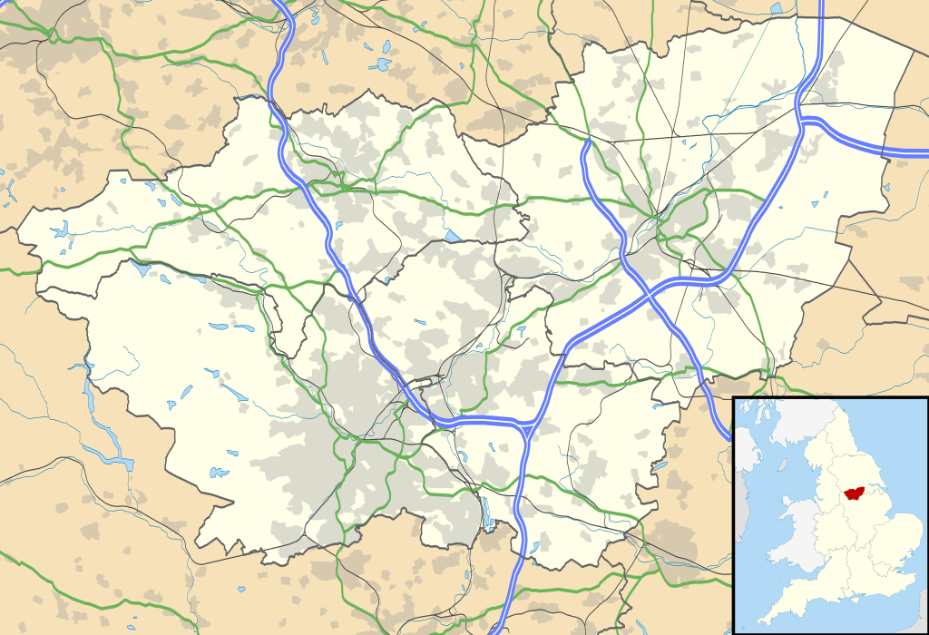
Map of South Yorkshire, UK with the following information shown:
Equirectangular map projection on WGS 84 datum, with N/S stretched 165% Geographic limits:
|
| التاريخ | |
| المصدر |
|
| المؤلف | Nilfanion, created using Ordnance Survey data |
| الترخيص (إعادة استخدام هذا الملف) |
هذا الملفُّ مُرخَّص بموجب رخصة المشاع الإبداعي نسبة المُصنَّف إِلى مُؤَلِّفه - المشاركة بالمثل 3.0 العامة نسب العمل لمُؤَلِّفه: Contains Ordnance Survey data © Crown copyright and database right
|
| إصدارات أخرى | File:South Yorkshire UK district map (blank).svg - Blank map |
| SVG منشأ الملف | , or with something else.هذا الرسم المتجهي أُنشئ بواسطة Inkscape |
.svg)
تاريخ الملف
اضغط على زمن/تاريخ لرؤية الملف كما بدا في هذا الزمن.
| زمن/تاريخ | صورة مصغرة | الأبعاد | مستخدم | تعليق | |
|---|---|---|---|---|---|
| حالي | 19:12، 26 سبتمبر 2010 | | 1٬425 × 974 (1٫47 ميجابايت) | Nilfanion | {{Information |Description=Map of South Yorkshire, UK with the following information shown: *Administrative borders *Coastline, lakes and rivers *Roads and railways *Urban areas Equirectangular map projection on WGS 84 datum, with N |
استخدام الملف
الصفحة التالية تستخدم هذا الملف:
الاستخدام العالمي للملف
الويكيات الأخرى التالية تستخدم هذا الملف:
- الاستخدام في bg.wikipedia.org
- الاستخدام في ceb.wikipedia.org
- الاستخدام في en.wikipedia.org
- Sheffield
- Roche Abbey
- Wentworth Woodhouse
- Conisbrough Castle
- Conisbrough
- Doncaster
- Anston
- Battle of Orgreave
- Barnsley
- Dore, South Yorkshire
- Ecclesall
- Stocksbridge
- Bradfield, South Yorkshire
- Dinnington, South Yorkshire
- Great Sheffield Flood
- Dunford Bridge
- Sheffield Botanical Gardens
- Woodlands, South Yorkshire
- Sheffield City Hall
- Askern
- Penistone
- Weston Park Museum
- Bawtry
- Handsworth, South Yorkshire
- Grimethorpe
- Darton
- Thorne, South Yorkshire
- Tickhill
- Beauchief Abbey
- Green Moor
- Oxspring
- Darfield, South Yorkshire
- Woodsetts
- Firbeck
- Austerfield
- Finningley
- Blaxton
- Hatfield, South Yorkshire
- Dunsville
- Moorends
- Sykehouse
- Pincheon Green
- Norton, Doncaster
- Campsall
- Hampole
- Skelbrooke
- Hooton Pagnell
- Clayton, South Yorkshire
اعرض المزيد من الاستخدام العام لهذا الملف.