ملف:Location map of Montgomery County, Indiana.svg

حجم معاينة PNG لذلك الملف ذي الامتداد SVG: 600 × 600 بكسل. الأبعاد الأخرى: 240 × 240 بكسل | 480 × 480 بكسل | 768 × 768 بكسل | 1٬024 × 1٬024 بكسل | 2٬048 × 2٬048 بكسل | 960 × 960 بكسل.
الملف الأصلي (ملف SVG، أبعاده 960 × 960 بكسل، حجم الملف: 1٫32 ميجابايت)
| هذا ملف من ويكيميديا كومنز. معلومات من صفحة وصفه مبينة في الأسفل.
كومنز مستودع ملفات ميديا ذو رخصة حرة. |
ملخص
| الوصف |
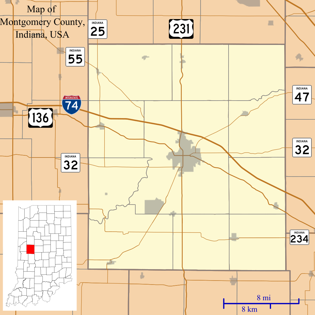
English: This is a map of Montgomery County, Indiana, USA which includes incorporated settlements, township borders, and major highways. |
| التاريخ | |
| المصدر | Source=My own work, using custom-written MapScript applications with United States Census Bureau TIGER 2013 data |
| المؤلف | Omnedon |
ترخيص
| أنا، مالِك حقوق تأليف ونشر هذا العمل، أجعله في النِّطاق العامِّ، يسري هذا في أرجاء العالم كلِّه. في بعض البلدان، قد يكون هذا التَّرخيص غيرَ مُمكنٍ قانونيَّاً، في هذه الحالة: أمنح الجميع حق استخدام هذا العمل لأي غرض دون أي شرط ما لم يفرض القانون شروطًا إضافية. |
تاريخ الملف
اضغط على زمن/تاريخ لرؤية الملف كما بدا في هذا الزمن.
| زمن/تاريخ | صورة مصغرة | الأبعاد | مستخدم | تعليق | |
|---|---|---|---|---|---|
| حالي | 03:47، 27 ديسمبر 2013 | | 960 × 960 (1٫32 ميجابايت) | Omnedon | == {{int:filedesc}} == {{Information |Description={{en|This is a map of Montgomery County, Indiana, USA which includes incorporated settlements, township borders, and major highways.}} |Source=Source=My own work, using... |
استخدام الملف
الصفحة التالية تستخدم هذا الملف:
الاستخدام العالمي للملف
الويكيات الأخرى التالية تستخدم هذا الملف:
- الاستخدام في azb.wikipedia.org
- الاستخدام في ceb.wikipedia.org
- الاستخدام في en.wikipedia.org
- Alamo, Indiana
- Crawfordsville, Indiana
- Darlington, Indiana
- Ladoga, Indiana
- Linden, Indiana
- New Market, Indiana
- New Richmond, Indiana
- New Ross, Indiana
- Waveland, Indiana
- Waynetown, Indiana
- Browns Valley, Indiana
- Bowers, Indiana
- Deer's Mill, Indiana
- Elmdale, Indiana
- Garfield, Indiana
- Hibernia, Montgomery County, Indiana
- Kirkpatrick, Indiana
- Lapland, Indiana
- Mace, Indiana
- Parkersburg, Indiana
- Shannondale, Indiana
- Smartsburg, Indiana
- Wesley, Indiana
- Whitesville, Indiana
- Yountsville, Indiana
- Cherry Grove, Indiana
- Balhinch, Indiana
- Linnsburg, Indiana
- Lake Holiday, Indiana
- Darlington Woods, Indiana
- Module:Location map/data/USA Indiana Montgomery County/doc
- Beckville, Indiana
- North Union, Indiana
- Fiskville, Indiana
- Manchester, Montgomery County, Indiana
- Taylor Corner, Montgomery County, Indiana
اعرض المزيد من الاستخدام العام لهذا الملف.